Southern Colorado Faces 15 Degree Plunge and 45 mph Gusts
A cold front crossing early Saturday will slash highs and deliver up to 0.75 inches of rain, following a week of heavy moisture in the west.
By Hassan Okoye ·
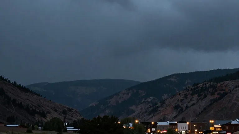
A cold front is set to sweep across Colorado early Saturday, driving temperatures down by 10 to 15 degrees and producing strong winds. Forecasters predict gusts of 40 to 45 miles per hour will impact the region as the system moves through. This shift will push daily highs below seasonal averages, marking a sharp departure from the warmer conditions observed earlier in the week.
The change in weather follows a period of persistent precipitation in western Colorado. The San Juan Mountains and the southwestern corner of the state have continued to receive heavy rainfall. As a result, flood watches, severe thunderstorm watches, and multiple flood warnings remained in effect for that area into Friday. These conditions have maintained a high risk for flooding and mudslides in the western slope.
Tropical moisture is shifting eastward, bringing additional precipitation to the rest of the state. Total rain accumulation across southern Colorado is expected to range from 0.10 inches to 0.75 inches. The new moisture arrives Friday night and carries into the weekend, interrupting a brief lull in showers that was forecast for parts of the eastern plains on Friday afternoon.
Local forecasts show a stark contrast between Friday's warmth and the incoming cold air. In Colorado Springs, temperatures are expected to reach a high of 73 degrees on Friday. Pueblo is forecast to hit 81 degrees, while the eastern plains may see highs of 83 degrees. By Saturday, these values will drop significantly as the front crosses the state. Woodland Park, which will remain above seasonal averages on Friday with a high of 56, is expected to see cold rain and possibly snow over the weekend.
The atmospheric shift will also affect snow levels in the mountains. As the cold front passes, forecasters expect snow lines to drop. This could bring precipitation to lower elevations that had been receiving only rain. The San Juans and western slope face continued heavy rain and flood risks through the weekend, though the nature of the precipitation may change as the air cools.
Conditions on the eastern plains are set to become more active as well. Following Friday's high of 83 degrees and low of 60 degrees, the plains could receive decent rainfall over the weekend. Strong winds accompanying the front will likely increase the chill factor and the potential for wind-driven rain. The extended outlook indicates that the system will move out, allowing for drier conditions later in the week.
Forecasters project that temperatures will return to more seasonal levels following the weekend system. The period of below-average highs and increased precipitation is expected to be short-lived. By next week, the region should see a dry-out, with weather patterns stabilizing after the passage of the cold front and the associated tropical moisture.
Source: KOAA News5
More World · Colorado Springs news · Report a business · Got a Story?